The Marmara Region
MARMARA REGION

Geographical position
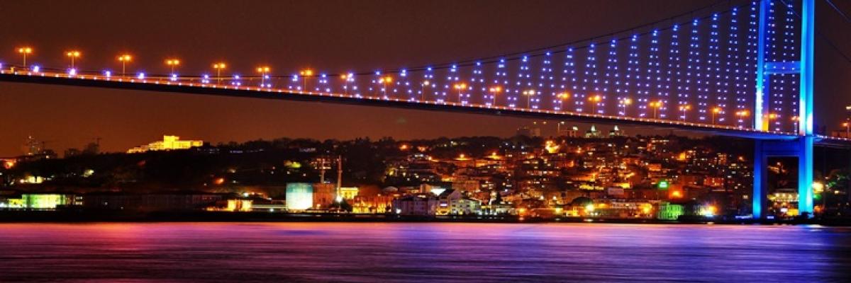
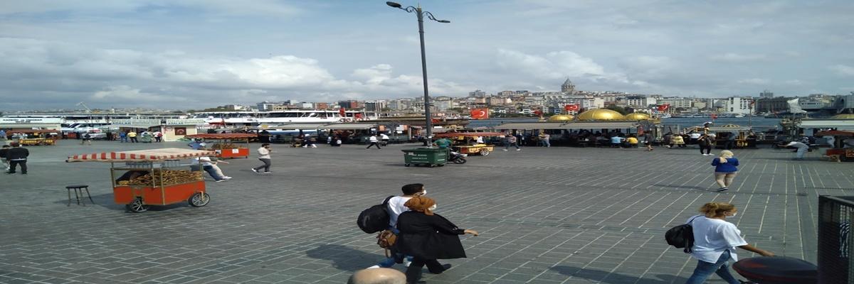
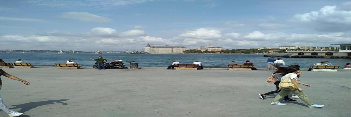
Marmara Region is located in the northwest corner of our country. The country is our sixth largest region with 8.5% of its surface area. It covers an area of approximately 66,000 square kilometers. It is adjacent to three seas, namely the Black Sea, the Marmara and the Aegean. The Istanbul and Çanakkale Straits are located in this region. It is located in both Asia and Europe.
Earth Shapes
The average elevation of Turkey, at least, is the region. The most important elevation of the Marmara Region is the Samanlı Mountains in the south, the Yıldız Mountains in the Thrace along the Black Sea and Uludağ in the south. These mountains are in middle elevation. The highest mountain in the region is Uludağ with 2543 meters. The most important plains of the region are the Ergene Basin in Thrace, the Sakarya and Bursa plains on the Anatolian side and the wide plateau areas in the south.
Due to the simple shape of the ground, transportation is easy. The southern Marmara shores are indented. Erdek, Bandırma, Gemlik and İzmit gulfs are important indentations.
Kapıdağ Peninsula shows tombolo feature.
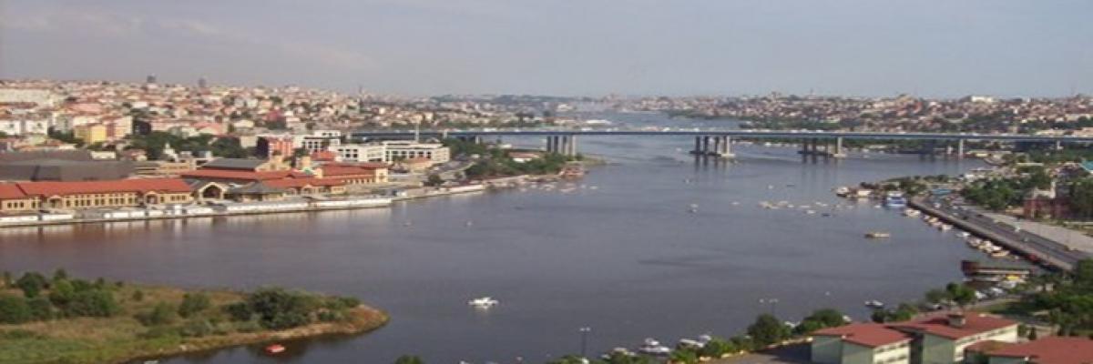
Since the northern shores are made up of steep cliffs, there are not many indentations or protrusions on these shores. Straits show ria-type coastal characteristics, which were formed by the flooding of old river beds.
Soil Properties
In the north of Thrace, in the Kocaeli Peninsula, in the east and south of the South Marmara, acidic, dark-colored and rich in organic matter are found. There are vertisol soils in the plains of the Ergene stream basin and the Southern Marmara Section, and calcareous soils called rendzina in the western part of Thrace, Gelibolu and around the Biga Peninsula.
Streams and Lakes
The lower part of Sakarya, Meriç River, Susurluk River constitute the main rivers. The low altitude of the region decreases the flow rate of the streams. For this reason, the energy potential of the rivers of the region is low. In addition, the low bed depths of the rivers and the unfavorable surface shapes make the dam construction difficult. For this reason, the share of Marmara Region in hydroelectric production is low.
The streams in the Anatolian side of the Marmara Region cannot form a delta on the shore. Because the coastal currents are high in the places where they fall.
Due to the low bed slopes, they left most of the alluvium they carried on the low coastal plains.
Ulubat, Iznik and Sapanca lakes in the region are of tectonic origin. Büyük and Küçük Çekmece and Durusu (Terkos) lakes are an example of a coastal barrier lake.
Climate and Vegetation
The most important feature of the Marmara Region climate is that it shows a transitional climate character. An average of 600 - 700 mm of precipitation falls in the region. The annual average temperature is 15-16 ° C.
Terrestrial climate characteristics are seen in Thrace. Yıldız Mountains prevent the humid air of the Black Sea from entering the interior. As the humid air mass coming from the Balkans leaves its moisture in the Balkan Mountains, it works to Thrace in a dry and dry way.
Air masses from the Balkans absorb moisture as they pass over the Sea of Marmara. It carries this moisture to the Southern Marmara shores. Therefore, it ensures that the Southern Marmara has a marine climate.
Except for the part of the Yıldız Mountains facing the Black Sea shores, the natural vegetation of Thrace is steppe.
Disturbed Black Sea climate is seen in the Kocaeli plateau. Summers are warmer than Black Sea climate, winters are colder. Summers are rainy, but maximum precipitation falls in winter. Forests can be seen along the Black Sea coast in the region.
The mild winters in the South Marmara caused the olive growing areas to become widespread, and the hot and dry summers made cotton farming easier.
While the places with abundant rainfall are covered with forests, steppes are seen in the places where the amount of rainfall decreases. Forests in Northern Marmara, steppes in Thrace, and maquis vegetation in Southern Marmara are common.
It has 13% of the Marmara Region of Turkey's forests. It ranks 4th among regions in terms of forest rate.
Population and Settlement
Although the region is small, it is our region with the highest population. Population density is above the average of Turkey.
It is our region with the highest urban population. The place where the population is particularly concentrated is Çatalca - Kocaeli Section. It is our region with the highest population working in the industrial sector. It is our region that receives the most immigration from other regions.
Bursa is the fifth largest city in our country where agriculture, industry and tourism are developed. Adapazarı is densely populated with its developed industry and fertile agricultural areas. Balıkesir, Çanakkale, Edirne and Tekirdağ are medium-populated cities. The most sparsely populated part in the region is Yıldız Mountains. Reason; the shape of the ground is bumpy.
Agriculture
In Turkey, according to area planted - planted area is where most of the Marmara Region. The factors that lead to this are the fact that the land is not very rough, the plains take up a large area and mechanized agriculture is common. The ease of transportation, the prevalence of irrigation and the high consumer population play a role in the development of agriculture in the region.
Seeing three different climate types at the same time in the region has increased the variety of agricultural products.
Although the proportion of planted areas in the Marmara Region is high, the high population of the region causes it to buy agricultural products from other regions.
Main agricultural products grown in the region
Olives: It is grown on the southern coasts of the region, which are under the influence of the Mediterranean climate. Especially Gemlik olives constitute the highest quality table olives of our country.
Cotton: It is grown especially in Balıkesir region in the southern part of the region where summer rainfall is decreasing.
Tobacco: Although it is produced in various regions of the region, quality tobacco is grown in Adapazarı plain.
Sunflower: the most intensively cultivated in this region in Turkey. It is grown in Ergene Basin, especially in the inner parts of Thrace.
Sugar beet: It is produced in irrigable areas around Alpullu, Adapazarı and Susurluk where sugar factories are located.
Wheat: It is grown almost everywhere in the region. It is planted in rotations with various industrial plants (especially sugar beet). It is also cultivated in soils that cannot be irrigated due to the sufficient average rainfall in the region.
Rice: More than half of our country's rice is obtained from this region. It is especially grown around Ergene and Meriç rivers.
Corn: It is grown especially in Eastern Marmara and Thrace.
Although it grows various agricultural products in the region and even leads in some products, it buys products from other regions. Because the population increases rapidly with migration and production is insufficient.
Fruit growing: Fruit growing is very developed in the region. Especially around Bursa, strawberry, apple, pear, cherry, peach and chestnut production is quite high.
Farming
Stockbreeding in the region is mostly in the form. In the development of animal husbandry, the excessive consumer population and the solution of the marketing problem can be shown. However, the availability of landforms and climatic conditions in the region is also effective. The fact that mechanized agriculture is widespread in the region has led to the shrinkage of pastures and pastures.
In addition to barn animal husbandry, pasture animal husbandry is also common in the region. Pasture animal husbandry is widespread in the vicinity of Yıldız Mountains and around Tekirdağ, Balıkesir and Çanakkale.
Silkworm cultivation is carried out in Istanbul and its surroundings, around Bursa, Gemlik and Bilecik. In addition, fishing is done intensively, especially in the straits. Fish migrate from hot seas to cold seas and from cold seas to warm seas according to the season. The straits where these migrations are made constitute the areas suitable for fishing.
Industry
It is our most economically developed region. Almost half of the workers in the industrial sector and more than one third of the industrial products are obtained from this region. It is the region where the industry is most developed.
In the Development of Industry in the Region;
• Easy to supply raw materials,
• Large hinterland,
• Easy access,
• Too much workforce,
Marketing facilities,
• The high consumer population is an effective factor.
The energy produced in Turkey 1/3 consumed in the Marmara Region. The largest industrial zone of our country is located between Istanbul and Adapazarı in this region. There are a wide variety of business lines on this line. Turkey's most developed and busiest port, the port of Istanbul.
Regional trade to Turkey's economy, transportation, provides a major contribution to revenues from tourism and industrial activities. It is our region that pays the most taxes.
Underground sources
Marble: There are quality marble deposits in Marmara Island and Bilecik.
Boron minerals: Balıkesir (Bigadiç, Susurluk) is mined between Bursa.
Lignite is mined in and around Çanakkale.
Natural Gas: Gas is extracted around Kırklareli (Hamitabat).
Tourism
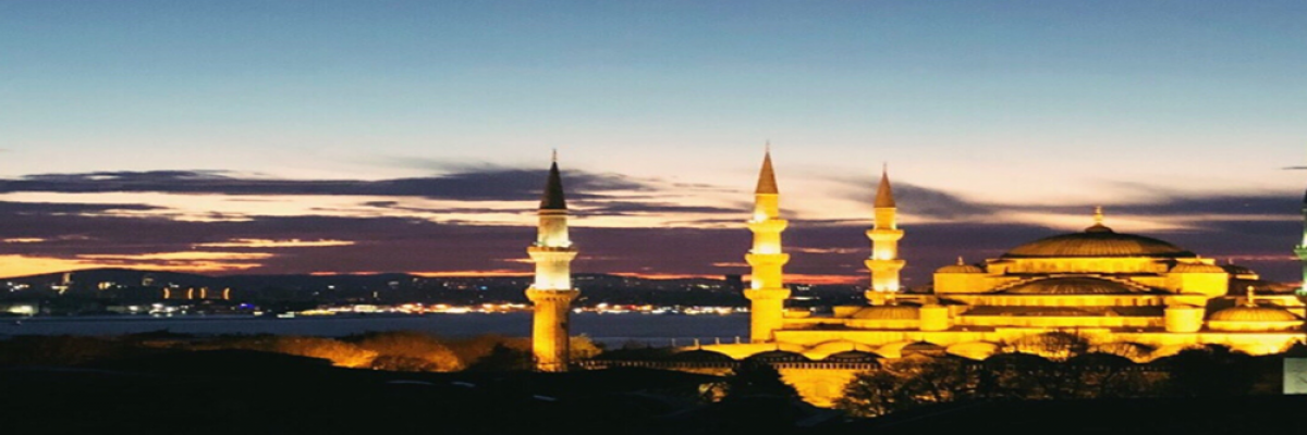
With their natural beauties and historical values, Istanbul, Bursa and Marmara coasts are important touristic centers. Summer tourism has developed especially in the South Marmara coasts.
Uludağ is the most important winter tourism area not only in the region but also in our country. Marmara Region is the region with the highest income from tourism (48%).
Divisions
Yıldız Mountains Section
The section includes the Yıldız Mountains and its surroundings in the north of the Black Sea, parallel to the Black Sea. Its average altitude is around 800 m. With the effect of the Black Sea climate, mostly broad-leaved forests are common in the region.
The department is located far from the busy transportation routes compared to other parts of Marmara. Therefore, it is the most sparsely populated part of the region. Forestry activities are carried out in the section. Apart from that, small ruminant livestock is seen. Animal husbandry and agriculture are carried out in the mountain foothills. However, agricultural areas are limited. Agriculture is carried out in the plateau areas on the southern skirts of the Yıldız Mountains.
Settlements are built on the roads leading to Istanbul.
The biggest contribution to our economy is livestock and forestry.
Ergene Section
In this section, especially in winter, with the effect of the cold air masses coming from the Balkans, the winters are cold and snowy, and the summers are hot and dry. Therefore, the natural vegetation is steppe.
Cultivated - It is one of the most planted areas. Due to its fertile soil, many agricultural products are grown in this section. Sunflower, rice, sugar beet and wheat are the leading ones. Especially, it is the section where sunflower is produced the most.
Barn animal husbandry has developed.
Connect Turkey to the European road and rail, pop it in the section from Edirne to Europe.
Southern Marmara Section
Uludağ, the highest place in the region, is located in this section.
The Mediterranean climate is observed in the section, especially on the coastline. Therefore, the characteristic vegetation is scrub.
Olive cultivation is common in the sloping lands and coastal areas in the department. Agricultural products such as sugar beet, tobacco, sunflower and cotton are grown in the interior.
It is our department where silkworm is most developed.
While the population of the department is gathered in fertile plains such as the Bursa region, the population density has decreased due to the mountainous and rugged western part of the section.
The largest city of the department is Bursa. Bursa, besides being an industrial city, is also a city of agriculture and tourism. Woolen, cotton and silk weaving has developed. Auto assembly and canning are other developing industries.
There are also ceramic (Çanakkale), artificial silk (Gemlik), artificial fertilizer (Bandırma) factories in the department.
Çatalca - Kocaeli Department
The section consists of two peninsulas on the roads connecting Anatolia to Thrace. This section is composed of flattened plateaus.
The influence of the Mediterranean climate is dominant. Natural vegetation is maquis and forests.
It is the most populated part of the Marmara Region. Depending on the industrialization
Istanbul and Izmit are interconnected.
In the section, agriculture is mostly done in the Lower Sakarya Plain. In this section, industrial plants such as sunflower, corn, tobacco and sugar beet are cultivated.
Industry, trade, transportation and banking are the main economic activities.
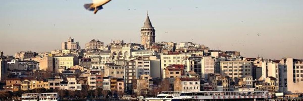
Section (At the same time the region and Turkey), the largest city of Istanbul. It is a cultural and commercial center where all kinds of industrial branches are used, domestic and foreign trade is carried out and all transportation routes are used extensively.
In Izmit, another industrial city of the department, a wide variety of industries such as paper, pipe, tire, petro-chemical and automotive have developed.
